Note
Click here to download the full example code
7.11. Project from a link layer
On this example we show how to create an empty project and populate it with a network coming from a link layer we load from a text file. It can easily be replaced with a different form of loading the data (GeoPandas, for example)
We use Folium to visualize the resulting network
# Imports
from uuid import uuid4
from tempfile import gettempdir
from os.path import join
from aequilibrae import Project
from shapely.wkt import loads as load_wkt
import pandas as pd
import folium
import requests
import urllib.request
from string import ascii_lowercase
We create an empty project on an arbitrary folder
fldr = join(gettempdir(), uuid4().hex)
project = Project()
project.new(fldr)
Out:
/home/runner/work/aequilibrae/aequilibrae/aequilibrae/parameters.py:53: UserWarning: No pre-existing parameter file exists for this project. Will use default
  warn('No pre-existing parameter file exists for this project. Will use default')
Now we obtain the link data for our example (in this case from a link layer we will download from the AequilibraE website) With data, we load it on Pandas
dest_path = join(fldr, "queluz.csv")
urllib.request.urlretrieve('https://aequilibrae.com/data/queluz.csv', dest_path)

df = pd.read_csv(dest_path)
Let’s see if we have to add new link_types to the model before we add links The links we have in the data are:
link_types = df.link_type.unique()
And the existing link types are
lt = project.network.link_types
lt_dict = lt.all_types()
existing_types = [ltype.link_type for ltype in lt_dict.values()]

# We could also get it directly from the project database
# existing_types = [x[0] for x in project.conn.execute('Select link_type from link_types')]
We add the link types that do not exist yet The trickier part is to choose a unique link type ID for each link type You might want to tailor the link type for your use, but here we get letters in alphabetical order
types_to_add = [ltype for ltype in link_types if ltype not in existing_types]
for i, ltype in enumerate(types_to_add):
    new_type = lt.new(ascii_lowercase[i])
    new_type.link_type = ltype
    # new_type.description = 'Your custom description here if you have one'
    new_type.save()
We need to use a similar process for modes
md = project.network.modes
md_dict = md.all_modes()
existing_modes = {k: v.mode_name for k, v in md_dict.items()}
Now let’s see the modes we have in the network that we DON’T have already in the model
# We get all the unique mode combinations and merge into a single string
all_variations_string = ''.join(df.modes.unique())

# We then get all the unique modes in that string above
all_modes = set(all_variations_string)

# This would all fit nicely in a single line of code, btw. Try it!
Now let’s add any new mode to the project
modes_to_add = [mode for mode in all_modes if mode not in existing_modes]
for i, mode_id in enumerate(modes_to_add):
    new_mode = md.new(mode_id)
    # You would need to figure out the right name for each one, but this will do
    new_mode.mode_name = f'Mode_from_original_data_{mode_id}'
    # new_type.description = 'Your custom description here if you have one'

    # It is a little different, because you need to add it to the project
    project.network.modes.add(new_mode)
    new_mode.save()
We cannot use the existing link_id, so we create a new field to not loose this information
links = project.network.links
link_data = links.fields
# Create the field and add a good description for it
link_data.add('source_id', 'link_id from the data source')

# We need to refresh the fields so the adding method can see it
links.refresh_fields()
# We can now add all links to the project!
for idx, record in df.iterrows():
    new_link = links.new()

    # Now let's add all the fields we had
    new_link.source_id = record.link_id
    new_link.direction = record.direction
    new_link.modes = record.modes
    new_link.link_type = record.link_type
    new_link.name = record.name
    new_link.geometry = load_wkt(record.WKT)
    new_link.save()

#
#
We grab all the links data as a Pandas dataframe so we can process it easier
links = project.network.links.data

# We create a Folium layer
network_links = folium.FeatureGroup("links")

# We do some Python magic to transform this dataset into the format required by Folium
# We are only getting link_id and link_type into the map, but we could get other pieces of info as well
for i, row in links.iterrows():
    points = row.geometry.wkt.replace('LINESTRING ', '').replace('(', '').replace(')', '').split(', ')
    points = '[[' + '],['.join([p.replace(' ', ', ') for p in points]) + ']]'
    # we need to take from x/y to lat/long
    points = [[x[1], x[0]] for x in eval(points)]

    line = folium.vector_layers.PolyLine(points, popup=f'<b>link_id: {row.link_id}</b>', tooltip=f'{row.link_type}',
                                         color='blue', weight=10).add_to(network_links)
We get the center of the region we are working with some SQL magic
curr = project.conn.cursor()
curr.execute('select avg(xmin), avg(ymin) from idx_links_geometry')
long, lat = curr.fetchone()
map_osm = folium.Map(location=[lat, long], zoom_start=14)
network_links.add_to(map_osm)
folium.LayerControl().add_to(map_osm)
map_osm
#
project.close()
#
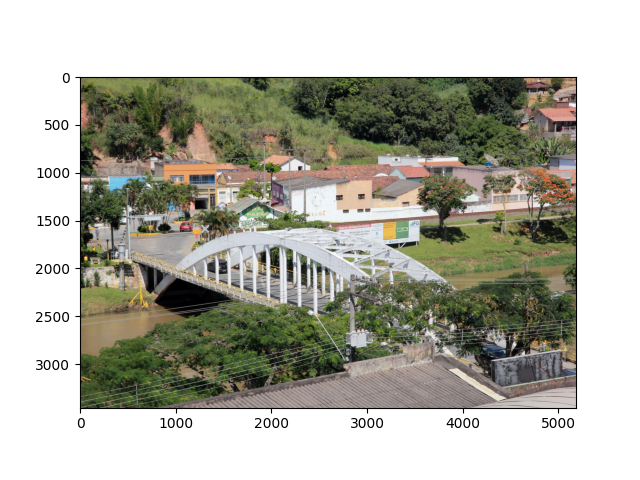
Don’t know Queluz? Here is a picture of its most impressive urban structure
from PIL import Image
import matplotlib.pyplot as plt

pic = 'https://upload.wikimedia.org/wikipedia/commons/2/2c/Ponte_Governador_Mario_Covas_01.jpg'
pic_local = join(fldr, 'queluz.jpg')
headers = {'User-Agent': "AequilibraE (https://aequilibrae.com/; contact@aequilibrae.com)  python-library/0.7"}

response = requests.get(pic, headers=headers)
if response.status_code == 200:
    with open(pic_local, 'wb') as f:
        f.write(response.content)

    img = Image.open(pic_local)
    plt.imshow(img)
Total running time of the script: ( 0 minutes 24.345 seconds)